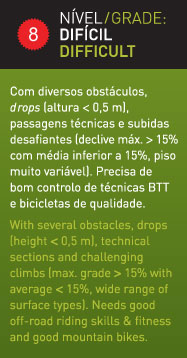
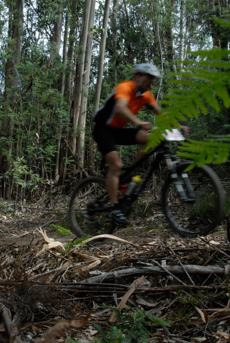
Being a difficult route, is 27 km long and 1243m of positive cumulative gap, with a maximum of 23.40% incline. Begins and ends in Louriçal do Campo and heads up to the highest point of Serra da Gardunha trough the south slope and then descends to S. Vicente da Beira, along the Srª da Ourada valley, passes by Casal da Serra and ends in Louriçal do Campo. This route, dazzles us with views over the the south Gardunha plains and with the difference of the north landscapes visible at the highest point.
Distância
26,5 km
Duração
1h50
Tipo de percurso
circular
Desnível
+1185 m
Gráfico